With the advances in software and technology, Unmanned Aerial Vehicles (drones) are being used for so many new applications that were beyond the budget of most projects until very recently. We are pleased to announce that we have made a software technology investment and are now providing mapping, 3-D modeling, elevation, and plant health services for a variety of purposes including agriculture inspections, forestry inspections / planning, real estate and developer property mapping, and many other uses. These services are evolving and expanding all the time, so please contact us to discuss your needs. We will find a way to meet those needs in the most timely and cost-effective way possible.
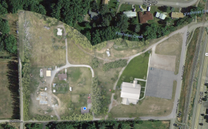
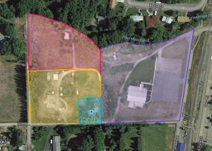
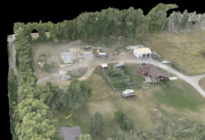
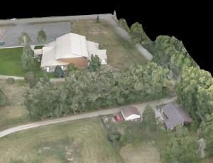
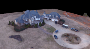
Here are some examples of basic map and 3-D model data you can receive from our software and services
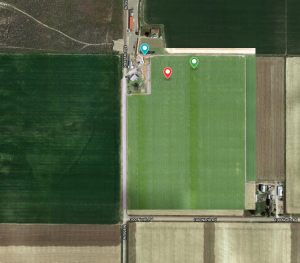
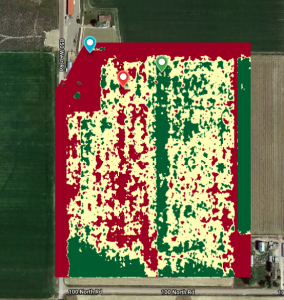
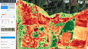
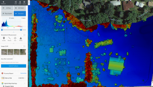
Advanced data gathering and processing can also provide you with crop health and elevation data
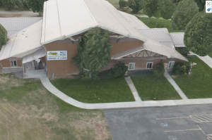
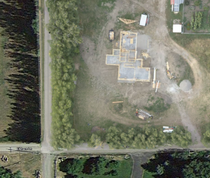
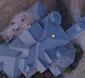
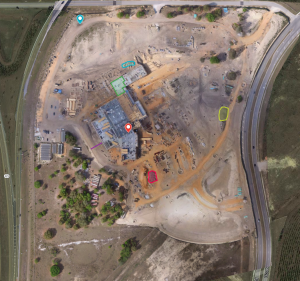
Finally, drone imaging is an efficient and effective way to accomplish construction site, roof and other property inspections
Yellowstone Visual Communications, LLC
PO Box 190
Chester, MT 59522
(406) 220-0397
Email:
info@yellowstonevisual.com
Menu
Follow Us
Yellowstone Visual Communications, LLC © 2017-2026 • All Rights Reserved